Central London Footways, previously the Central London Walking Network, is a network of quiet and interesting streets for walking in central London.
It has been curated by London Living Streets to connect major places with appealing and accessible streets. The places include mainline train stations, popular destinations and green spaces.
It prompts Londoners and visitors to choose walking as the most enjoyable, efficient and healthy option.
Benefits
- Enables and invites visitors, residents and workers to walk between transport interchanges and attractions, taking the pressure off public transport and reducing the reliance on private hire vehicles
- Presents London as world-class city where people want to visit, live, work and learn
- Increases active travel and healthy lifestyles
- Creates low-pollution walking routes
- More people walking means busier streets, which creates commercial opportunities for businesses and landowners
- Improves road safety by providing more space for walking and improved crossing points
Ingredients of the network
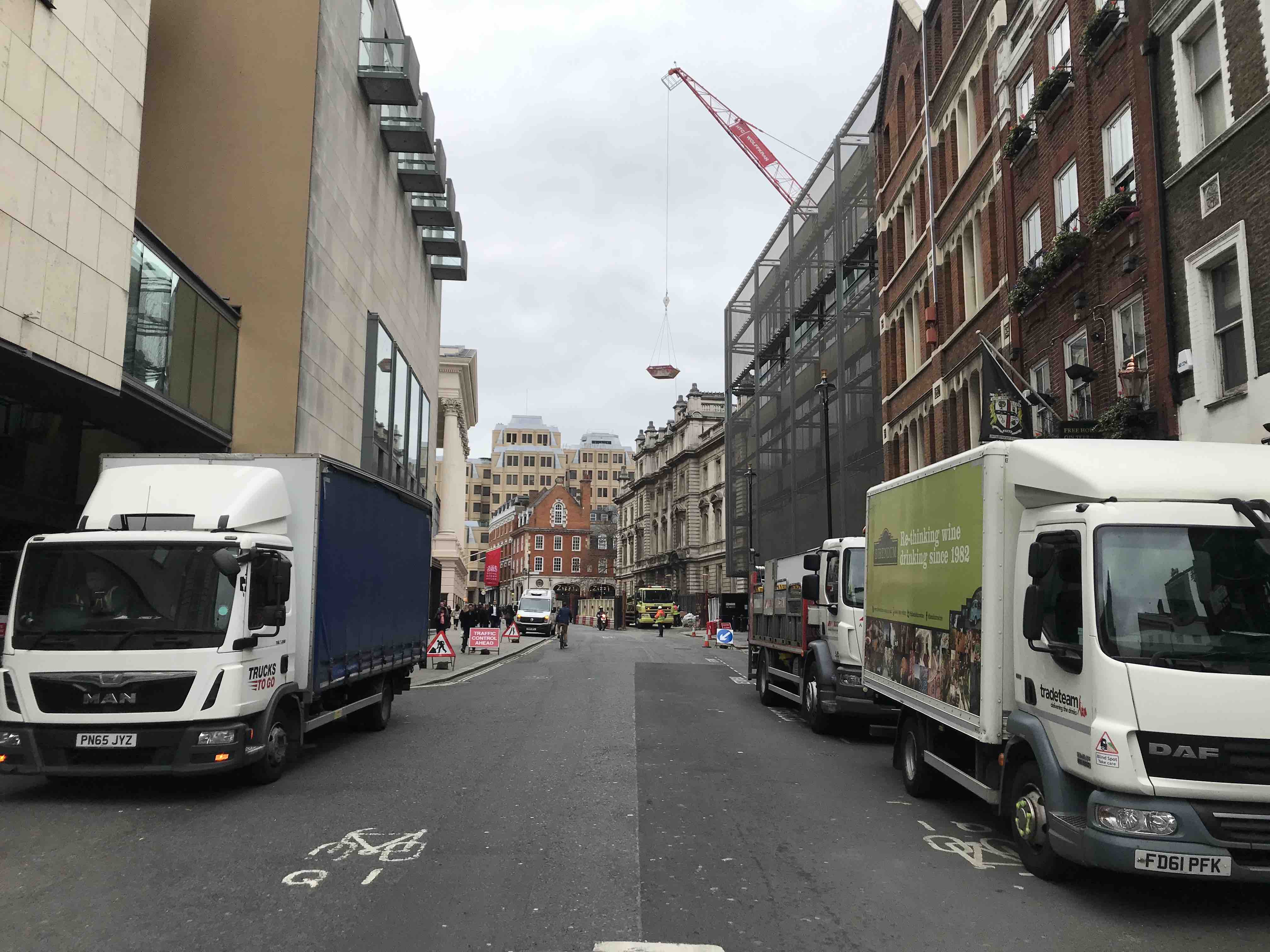
Footways prioritises London’s ancient, characterful streets for those on foot, leaving the big roads built by the Victorians and Edwardians for through motor traffic. These older streets need relatively small improvements to create safe, clean and pleasant walking environments. These include:
- wider, better pavements;
- reduced on-street parking;
- seating so people can stop and rest;
- public art to enrich the environment and community;
- opportunities for seating outside restaurants, pubs and cafes;
- improved and more frequent crossing facilities; and
- measures to reduce traffic volumes.
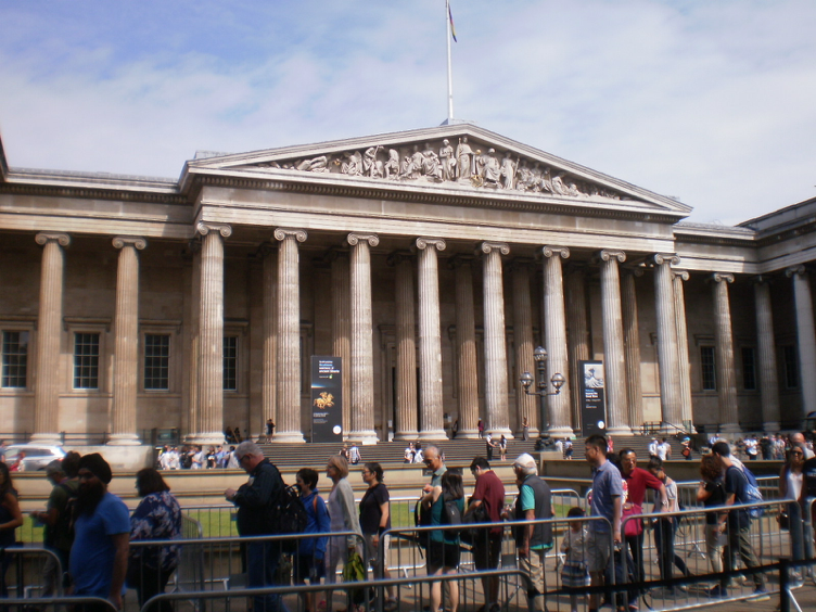
Sample route from British Museum to Waterloo or Trafalgar Square
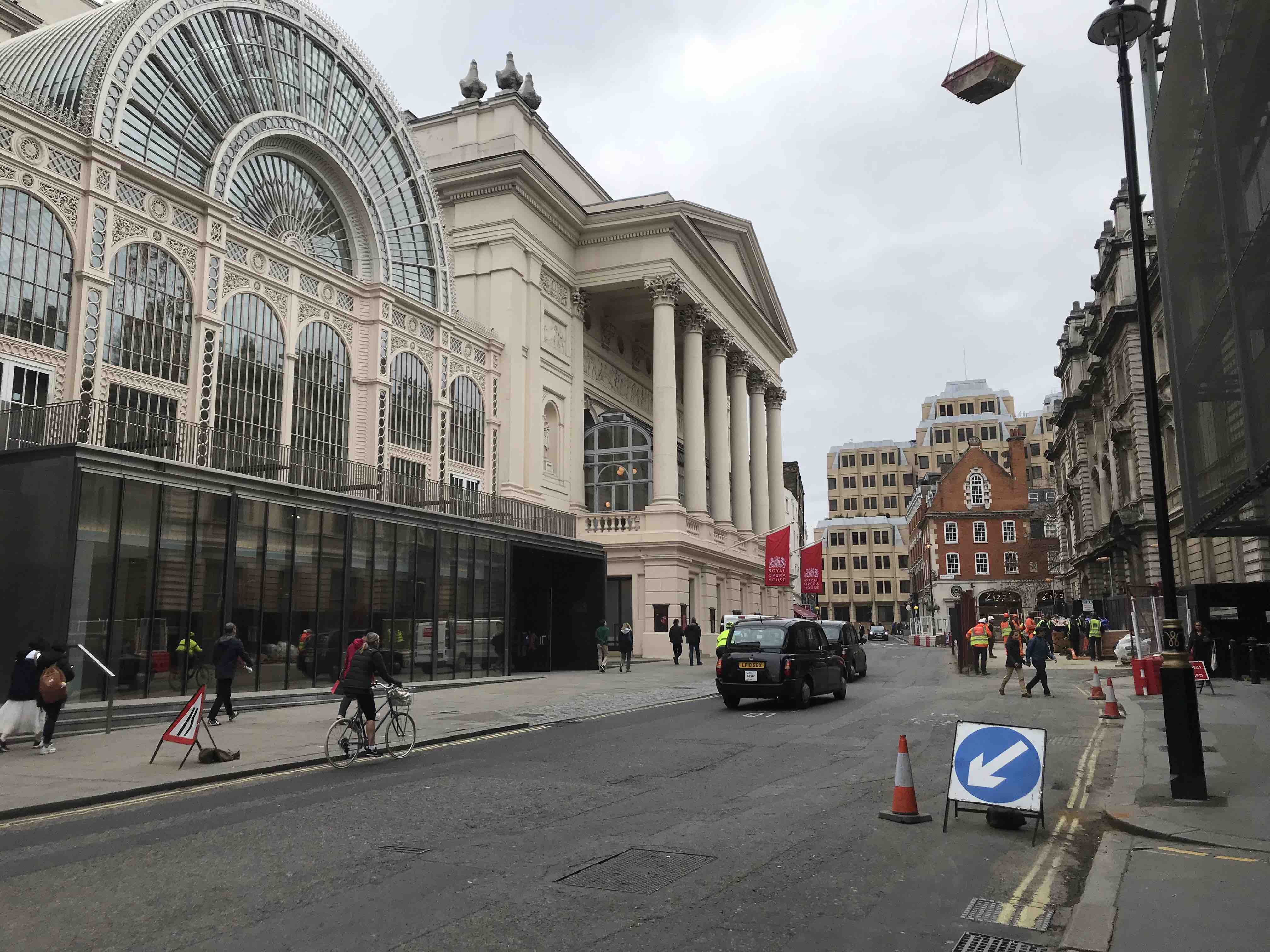
One easy and enjoyable route links the British Museum with Waterloo using streets such as Bow Street that were part of London’s ancient street pattern and contrast with later roads, such as Kingsway, created in 1905, which are more suitable for motor vehicles.
They link a range of attractions important to both visitors and local communities including the British Museum, National Portrait Gallery, Somerset House, a number of schools, churches, theatres, health and leisure centres, hotels, pubs, restaurants and squares.
The route also builds on and links the excellent public realm improvements at Trafalgar Square, underway for Camden Council’s West End Project and proposed by City of Westminster for the Strand Aldwych area.
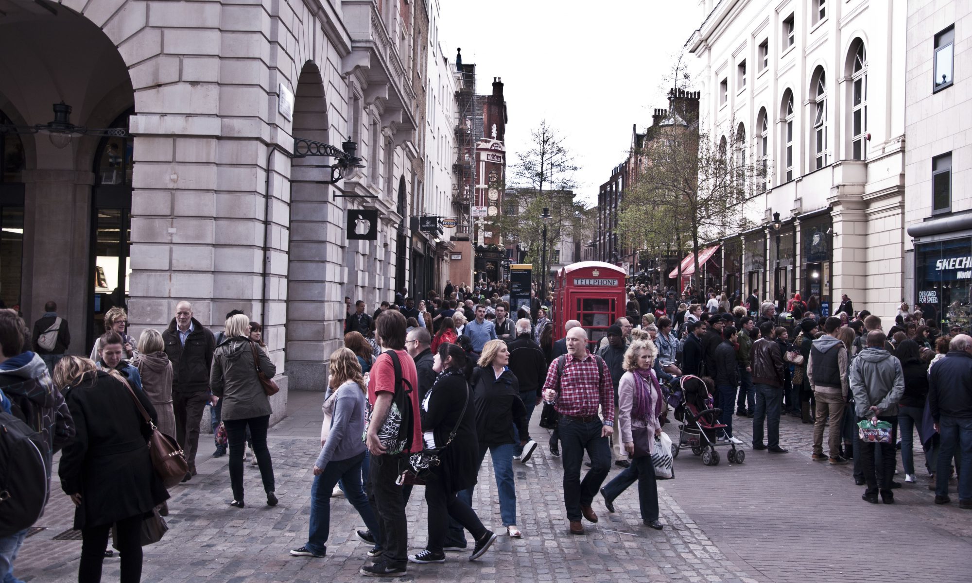
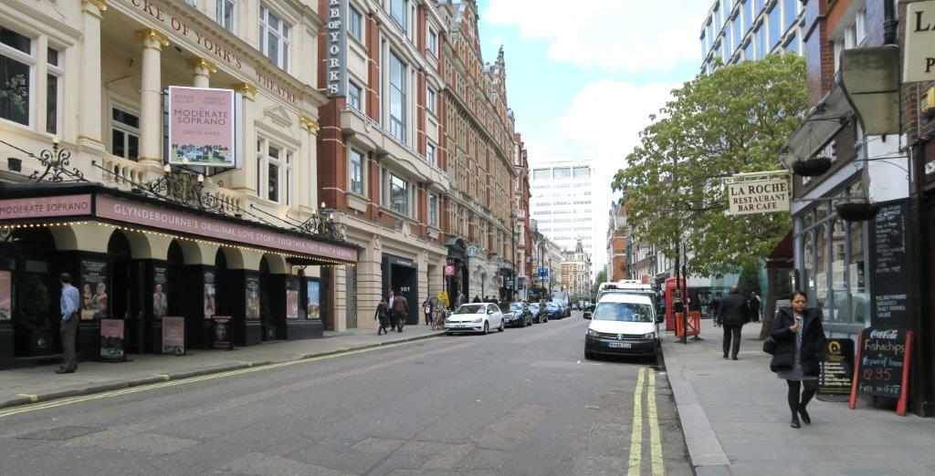
The route already exhibits characteristics that are excellent for walking. There is a human scale to architecture through the route and many points of intrigue. Some locations have already been improved to create a sense of place. But these points of excellence lack coherence as a route.
- Poor crossing facilities and prohibitive junctions prevent people from following natural desire lines.
- There is a poor balance between people and vehicles
- Pavements are narrow and inconsistent
- Footways are cluttered with vertical poles
- Parking is too often prioritised even when the roadway is underused.

St Martin’s Lane is a good example of a street given over to motor traffic at the expense of pedestrians, who are crammed onto narrow pavements when the theatres and restaurants spill out. Simple improvements including removal of on-street parking and wider pavements could transform the street and give space back to those who need it most.
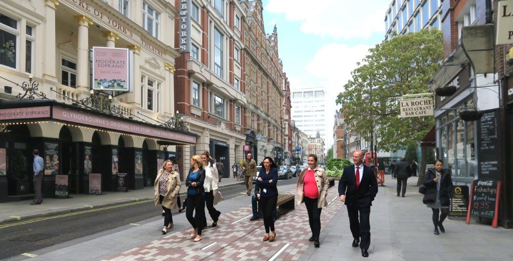
We imagine cafes, restaurants and pubs, extending the seating areas. Features such as benches, greenery or public art would further enhance the streets, making these places to spend time rather than rush through.
The concept is supported by Transport for London, that provided funding for a printed map to be published in September 2019. London Living Streets volunteers have also worked extensively with all the central London boroughs and City of London, Business Improvement Districts, museums and other cultural organisations and local campaigners, testing routes and seeking opportunities for great walking environments across central London.
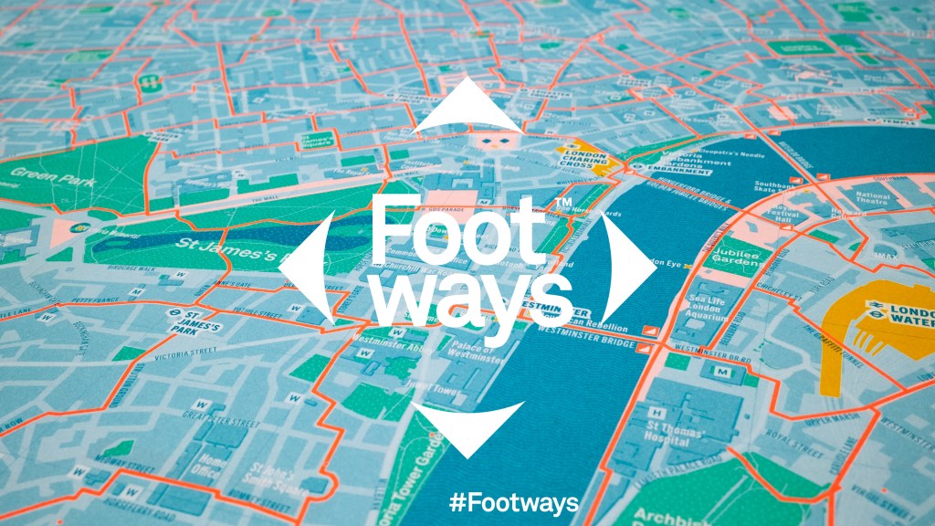
For a flavour of what’s to come, take a look at footways.london and wait for the beautiful printed map by Urban Good in September.
